The far-reaching vastness of the California wildfires was staggering as we camped in Northern California this May. Equally amazing was how many homes and ranches were saved by our heroic firefighters, as we drove past burned forests and grasslands, bordering right up to homes, barns, and buildings in remote areas.
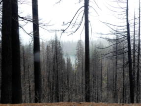
We saw blackened trees from the Lake Shasta – Redding area, into the Berryessa Snow Mountain National Monument, over to Clear Lake, continuing south deep into the Napa Valley. These areas were ravaged by the Carr, Mendocino Complex Fires.
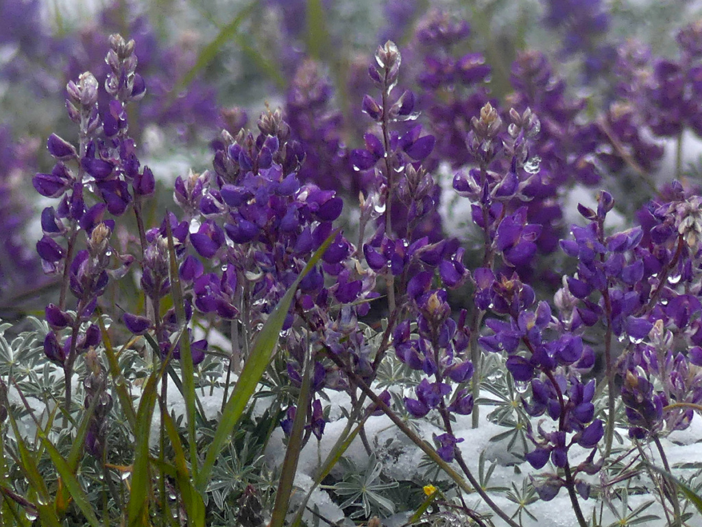
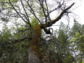
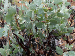
Thankfully, we also saw new life springing out of the ashes in the form of colorful wildflowers, massive blooming buckeye bushes, and the bright greens of new pine trees, manzanita, ash, sycamore, and oak.
Cache Creek Wilderness
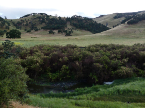
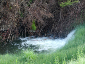
Driving towards the Berryessa Snow Mountain National Monument, we found a quiet campground called Cowboy Camp. It is located off of Hwy 16 just before the Cal Fire station and the intersection of Hwy 20, (when driving north on 16 from Esparto and Hwy 505). We had driven a long day in the rain and were glad to find this respite with a view of grassy, oak-studded meadows, intersected by Bear Creek with waterfalls.
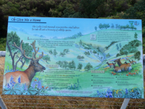
Cowboy Camp has clean pit toilets, fire rings and picnic tables here. A viewing platform had signage for info about Tule Elk in the area. We nearly had the place all to ourselves.
Closed roads in the Berryessa Monument
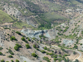
Over Memorial Day weekend, we encountered snow in the higher elevations of the Berryessa wilderness. Many of the backroads were closed off for fire restoration. This made for longer drive times and extra work to find routes around and back out of the wilderness area.
The M10 route, coming from Stonyford, was closed just beyond Letts Lake. All routes heading south towards the Indian Valley Reservoir seemed closed off as well. I recommend staying on the main, open routes to avoid getting lost in the maze of forest roads that may end up at a locked gate.
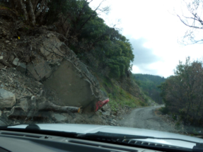
M10 has narrow, one-lane sections due to rock slides and fire damage. Rain added to making the drive with great care over the steep, windy dirt roads with sheer drop-offs.
There are large campgrounds for OHV enthusiasts in the Fouts Springs area along the M10, which will also accommodate larger RVs. The BLM has an online map in PDF form.
Letts Lake
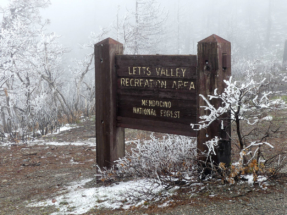
We camped, stopping short of finding very nice camping at Letts Lake. I would like to camp there with a view of the lake on a return visit during the off season.
Letts Lake Campground offers a handicap accessible trail and fishing pier along the lake. The sites have tables, water spigots, and scattered pit toilets. No motorized boats are allowed on the lake. The camping fee is a reasonable $12 per night, with approximately 40 camp sites to choose from.
Check out the BLM webpage for the Berryessa Snow Mountain National Monument for more detailed information about this diversely beautiful area.
FR16N18 Letts Valley
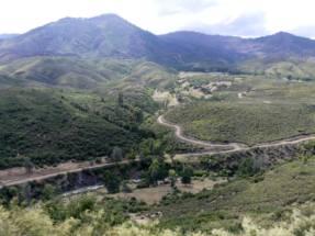
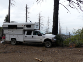
We found a campsite among the burned trees, with a lovely overlook of the valley around Miners Ridge and Goat Mountain, at about 6,000 feet. We enjoyed our camper’s outside shower in the warm sunshine and later relaxed sitting outside as the sun set.
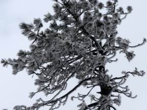
The next morning, we were surprised to awaken to it snowing. Hot coffee steamed in our cups as we enjoyed testing our new coffee pot, inside our cozy camper. We love using our percolator to make the best cup of joe. Read our review of the Bozeman coffee pot.
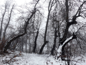
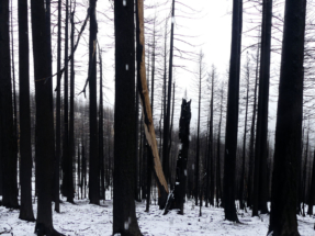
Breaking camp, we further explored the blackened forest which looked eerily beautiful against the piling white snow. We drove the forest roads among the burned trees, hoping to find a way south to Hough Springs. However, each time we ended up at a locked gate and had to find our way back to M10 to go back the way we came in, at Stonyford.
Routes out of Stonyford
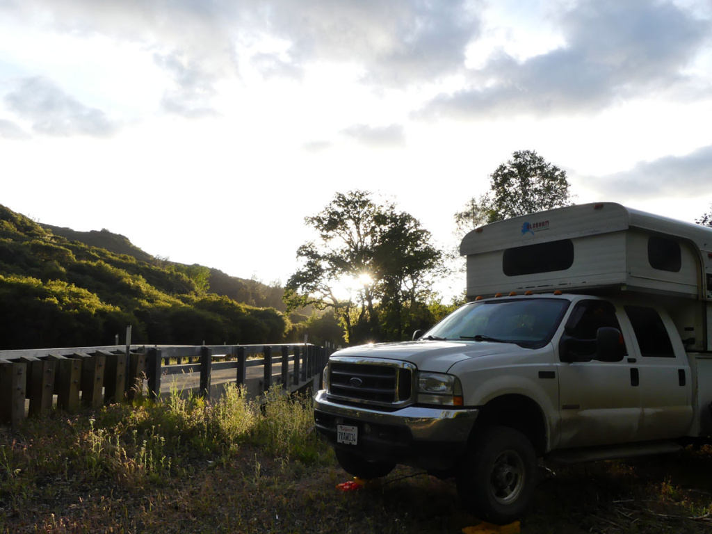
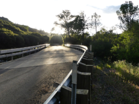
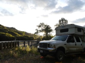
Heading south out of Stonyford, the rural road heading towards Wilbur Springs follows Bear Creek, with meadows and forest along this well-maintained gravel (sometimes dirt) road. Most of this route winds through private land with very limited opportunities for dispersed camping. We did find a quiet spot next to a bridge for the night.
This road came out at Hwy 20 where we turned west to drive around the north shores of Clear Lake, looking full and beautiful after recent rains. At the northwest corner of the lake, we turned south on Hwy 29.
BLM camping at Sheldon Area
Where Hwy 175 intersects, we turned west heading towards Hopland. Just before reaching the small town of Old Hopland, in the thick of large vineyards, we found the sign for Old Toll Road. This narrow, twisting route leads to the Sheldon Recreation Site BL 948. Here are limited sites with fire rings, pit toilets, shade and tables at the end of a long, bumpy, dusty dirt road. We found the place too crowded and went back to continue the rough, narrow route through cattle ranch country. The hairpin turns made this route slow, while in 4WD, on the lookout for oncoming trucks or jeeps.
Eventually, the road improved while heading south, along the Highland River. We found the southern route via Highland Springs to be much more advised and enjoyable to drive.
Highland Springs Recreation Area
This scenic area has primitive camping on the west side of the lake. A developed campground appeared to be on the east shore of the lake, where many boats were launching. We drove out (heading south) via Matthews Rd, coming into homes and main roads to continue our trek south to Calistoga on Hwy 175.
Bothe-Napa Valley State Park
The developed campground here is really nice, with sites along the meandering stream. If we needed a civilized break to recharge batteries, fill with water and use the dump station, I would pick this place. There are amazing hiking trails nearby into the mountains of the Robert Louis Stevenson State Park.
Old Faithful Geyser
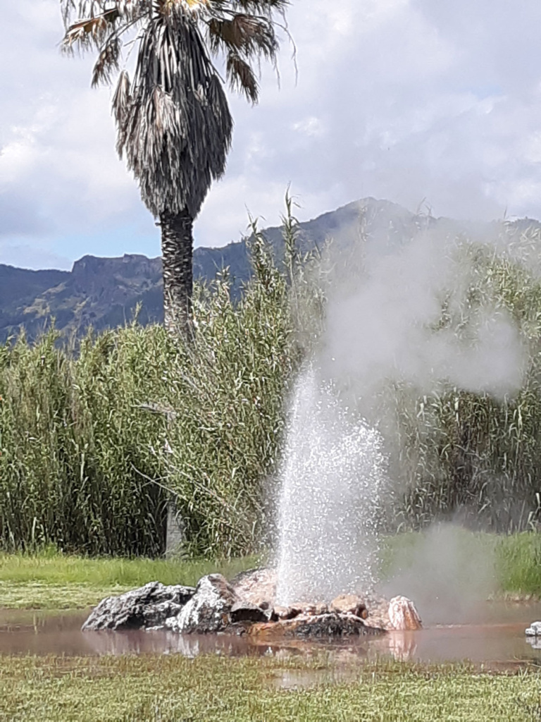
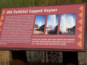
We did the tourist thing and popped in to eat lunch and see California’s version of the Old Faithful Geyser near Calistoga. New owners are sprucing up the place, providing a small, informative geology museum, as well as nice, shaded sitting areas to watch the geyser.
This venue offers all the picnic supplies for your lunch, including plates, silverware, and wine glasses. The use of the supplies is free with the purchase of your entry ticket, about $11 with a senior discount.
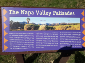
There is a petting zoo and the atmosphere is family friendly. My favorite thing was the panoramic view of the Palisades Mountains, looking towards the Robert Louis Stevenson State Park area. The geyser was indeed “faithful” with regular spouting, but I did not get the “wow” factor like I imagine Yellowstone to be, which is on my bucket list.
Lake Berryessa
We arrived in St. Helens where we followed signs to Lake Berryessa on Hwy 128. From there we turned north to follow the west shore of the lake. No dispersed camping is allowed along this shoreline however, there are several campgrounds.
We found the northern campgrounds less populated and quiet looking. There is also BLM land beyond the bridge and past the lake with hiking trails and opportunities for dispersed camping.
The Spanish Flat Campground looked more developed however, we did not drive through here to check it out.
Putah Canyon Rec Area Campground has 100 sites with tables and fire pits. Water spigots were few and far between as well as pit toilets. Most toilets were the portable honey huts. There is a dump station for $15 with the fee for an RV to camp at $37. There is a large boat ramp and parking area here.
The Smittie Creek Day Use area is a good spot for a bathroom break while scouting the lake area.
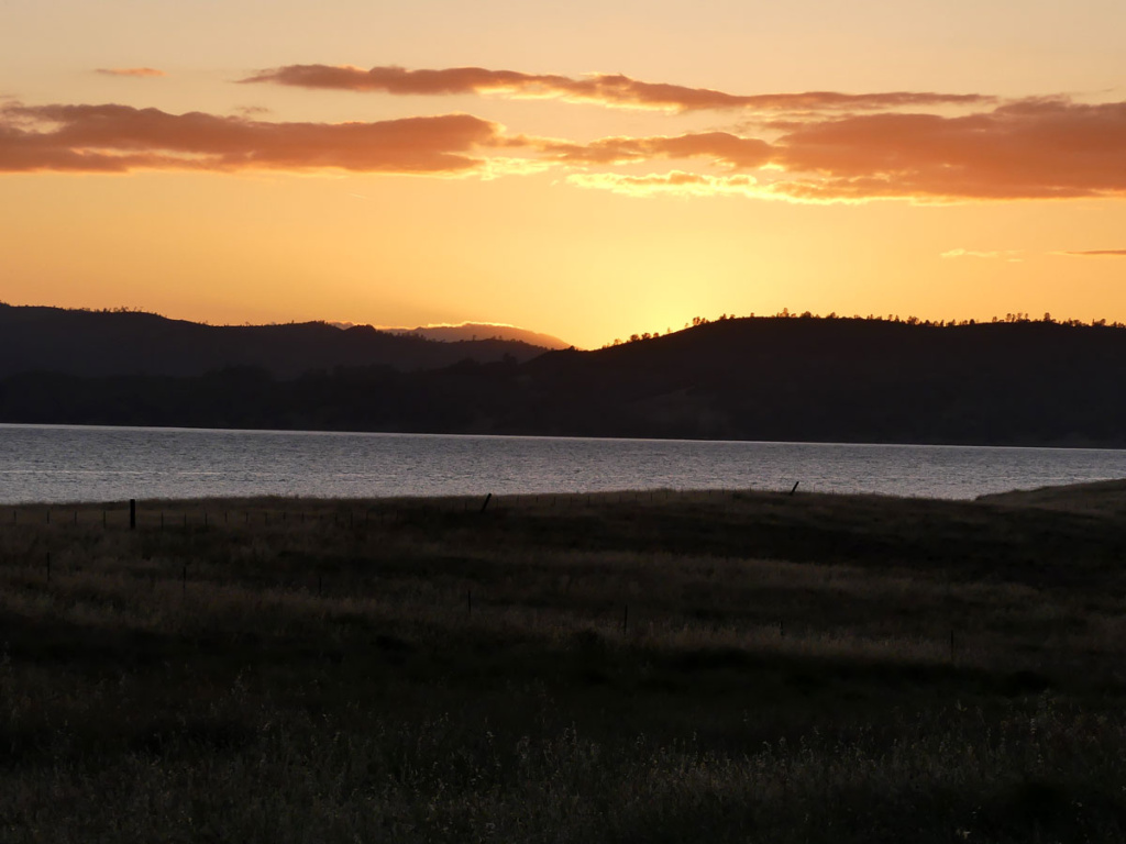
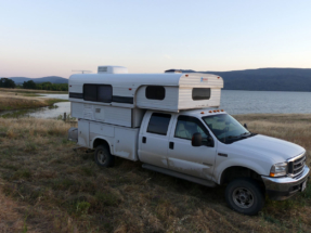
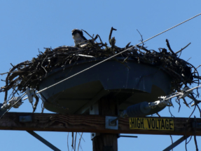
We found a quiet place further off of the road to camp and enjoyed seeing numerous Osprey, pelicans, Canadian geese, wild turkeys, and even baby pigs. Next time I will bring my fly rod for doing some fishing, as this lake looked promising.
We used the California Road & Recreation Atlas often for this trip – both planning and while traveling.
