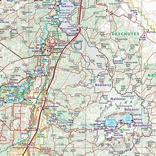
 Benchmark Atlas offers its maps for each of the U.S. states
These book style maps offer more detail than a conventional paper state road map. I like to use these for planning a trip as well as while on the road, especially when no cell reception is available.
With the all-new Landscape Maps section, it’s easy to see whether an area is forested, cultivated, marshland, or desert. This feature is helpful for the person who wants to know the most about an area being visited beforehand. The atlas has popular features such as a complete Recreation Guide, page-to-page overlap and legendary accuracy. Each “overlap” area has a page number to easily find where the road or area continues.
The atlas recreation guide lists parks, forests, wilderness, natural wonders, museums, boating and fishing, campgrounds and RV parks to name a few. There is a comprehensive index at the back of each book.
These are large and won’t fit in your glove box. I keep mine in the truck door pocket, or in between my seat and the center console. I use sticky notes to mark my current trip, so I can find our route easily.
A cool feature is the QR code on the cover for online recreation resources. I especially like the listings of website links and phone numbers for National Parks and Forests and BLM areas.
Click here to get started on finding the state you want to explore for purchase at *Amazon.
*Just so you know, this blog includes affiliate links, which means if you click through and make a purchase we may receive a commission (at no additional cost to you). We only share and review items we use and work well for us.


[…] our 40-gallon tank was filled, we headed out Hwy 164 to find camping as the sun was going down. Our California Atlas showed a dirt road marked with the Aztec Mine about 15 miles out in the nearby mountains. We prefer […]